
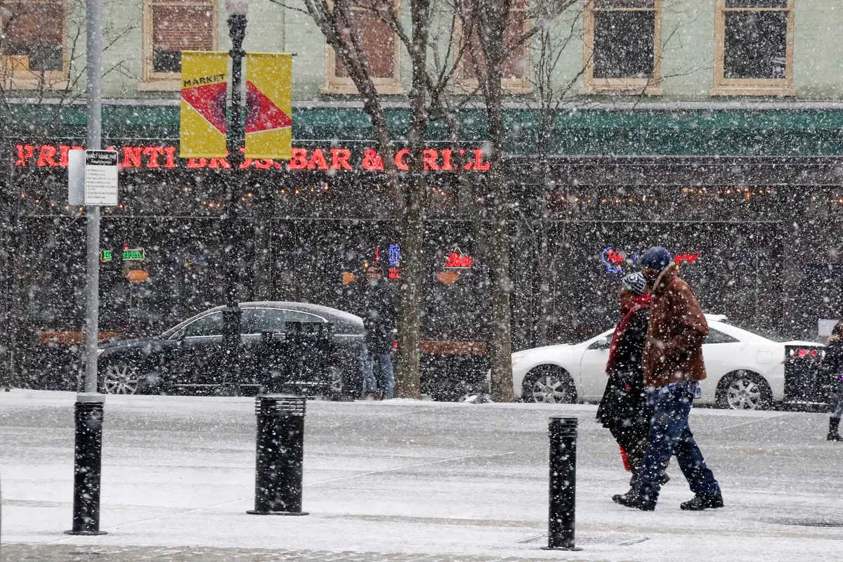
uh oh. Severe Weather in Pittsburgh pic.twitter.com/5jb7cTAVZ7
— Junko (@MatriarchOfHate) April 29, 2025
As of April 30, Pittsburgh can expect a mix of warm sunshine and rainy periods in the coming week. Wednesday (Apr 30) will be mostly sunny and mild, with a high near 70°F Thursday (May 1) will turn much warmer (highs around 82°F) as a warm front moves through, but scattered showers and thunderstorms are likely by afternoon A few storms may even produce gusty winds and hail (the NWS warns of potential severe w. Over the weekend, a cold front brings steadier rain: Saturday’s high will be near 63°F with rain likely through midday then partly cloudy and cooler overnight. Sunday (May 4) will be drier and partly sunny (high ~67°F, small chance of afternoon showers) By Monday (May 5) and Tuesday (May 6) temperatures rebound into the 70s (highs near 72–77°F) with sun and just isolated shower chances
-
Wednesday (Apr 30): Mostly sunny, high around 70°F. Calm to light winds; UV index will be high (around 9), so use sun protection Low tonight near 53°F.
-
Thursday (May 1): Hot and humid with showers and storms likely by afternoon. High ~82°F South winds 5–15 mph, gusty. Thur night: continuing showers/thunderstorms; low ~64°F
-
Friday (May 2): Early showers/storms possible, then partly sunny. High ~76°F West winds pick up (13–15 mph with gusts). Friday night: chance of showers and storms, low ~55°F Saturday (May 3): Cooler with steady rain mainly in the morning. High ~63°F Clouds clearing toward evening; Saturday night low ~46°F (mostly cloudy).
-
Sunday (May 4): Partly sunny, warm (high ~67°F) with only a slight rain chance Sunday night turns partly cloudy, low ~48°F.
-
Monday (May 5): Mostly sunny and mild (high ~72°F) with a 30% chance of afternoon showers Monday night low ~50°F.
-
Tuesday (May 6): Mostly sunny, warm (high ~77°F) with scattered afternoon showers possible
Weather Alerts and Advisories
No official watches or warnings are in effect early in the week, but conditions warrant caution. For example, dense morning fog is likely on Wednesday; the NWS advises drivers to slow down and use low beams as visibility may suddenly drop The UV index is expected to reach 9 on Wednesday and Thursday meaning unprotected sun exposure can cause serious burns – be sure to wear sunscreen, a hat and sunglasses. Late-week thunderstorms have a chance to become strong to severe: the Pittsburgh office notes Thursday’s storms could produce large hail and damaging winds. Keep an eye on any updated NWS severe thunderstorm warnings on Thursday afternoon. As for flooding, river levels are very low – the NWS spring flood outlook shows less than a 5% chance of minor flooding in any week through May– so widespread river flooding is unlikely. (Localized ponding could still occur in heavy rain, so watch for flooded roads.)
Tips for Pittsburgh Residents
-
Dress in layers: Mornings will start cool (upper 40s–50s) and afternoons will warm up (70s–80s). Light jackets or sweatshirts in the morning will be comfortable, but you’ll want short sleeves or lighter wear by afternoon.
-
Bring rain gear: An umbrella or raincoat is smart for Thursday through Saturday. Thunderstorms are possible on Thursday/Friday afternoons, so plan outdoor activities accordingly. If you have afternoon plans on Thursday, have a backup indoor option.
-
Sun protection: With a high UV index, wear sunscreen or sunblock (SPF 30+), especially Thursday when skies clear out. Sunglasses and a brimmed hat will help protect against the bright sun on Wednesday/Thursday.
-
Drive safely: Watch for fog on Wednesday morning In thunderstorms, reduce speed and turn on headlights; heavy rain can drastically reduce visibility. Avoid driving through any flooded areas. If stormy weather arrives while you’re on the road, slow down and pull over if needed.
Notable Weather Patterns
This week’s forecast reflects a classic spring pattern: a brief warm-up followed by a cold front. A ridge of high pressure early on pumps warm, humid air northward – hence Thursday’s high in the 80s, well above the late-April average. Then a passing cold front drops temperatures sharply by Saturday. For example, Thursday’s high ~82°F contrasts with Saturday’s much cooler ~63°F That’s an unusually large swing for late April, so expect noticeably cooler air after the weekend rains. By Monday/Tuesday the cooler air moderates and highs creep back into the 70s Aside from the warmth, April has been somewhat wetter than normal, and the heaviest rains of this front may tap moisture already in the ground. Still, no historic extremes are expected – simply a reminder to plan for “changeable” spring weather with both sun and showers in Pittsburgh this week.
Sources : National Wheather Service
About us
Contact us
Term& condition
Disclaimer
Privacy policy